
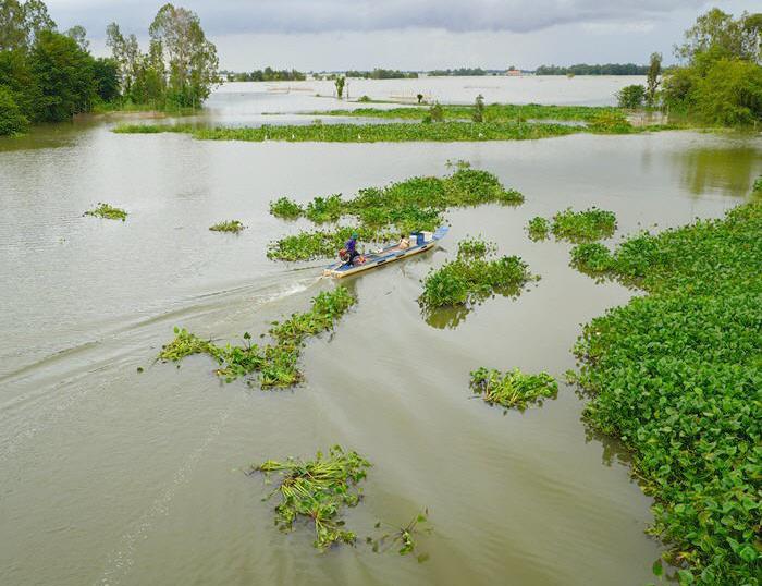
Dat Mui Cape, the southernmost tip of Vietnam, is located in Ngoc Hien District, Ca Mau Province—roughly 350 km from Ho Chi Minh City. Famous for its lush mangrove forests and unique coastal geography, it is an essential bucket-list destination for travelers exploring the Mekong Delta. Cape Ca Mau National Park is covered by a natural mangrove forest. There are extensive mudflats that are also being naturally colonized by mangroves. These areas are continually growing due to accretion rates along the coastline of up to 50 m per year in some places. On the eastern coast lies Dat Mui National Park, where dense mangrove forests meet the East Sea.
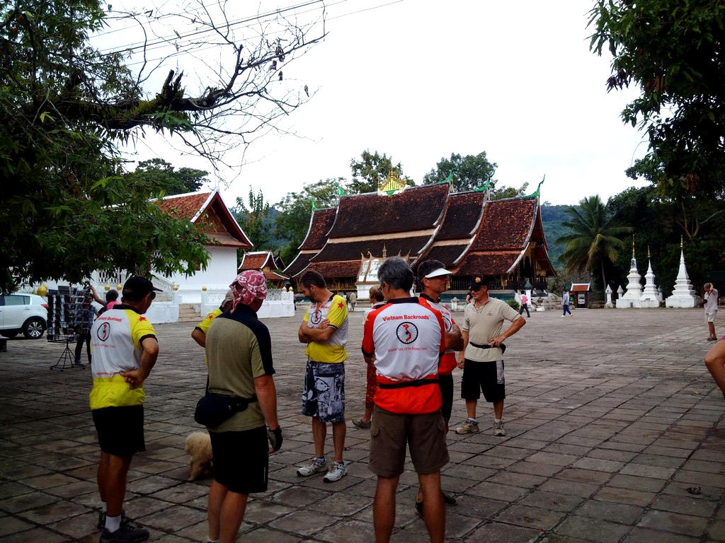
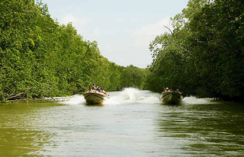
The mangrove ecosystem of Ca Mau is among the largest in Vietnam and supports an extraordinary diversity of wildlife. It is home to endangered mammals such as the hairy-nosed otter and the fishing cat, as well as 187 recorded bird species, making it a significant conservation area. For many years, reaching Dat Mui and Cape Ca Mau was possible only by boat. Road access was completed in 2016, making the region more accessible to travelers. Today, Dat Mui is approximately 90 kilometers from Ca Mau City. Visitors can also experience the traditional route by taking a speedboat from Nam Can, a scenic journey of about 1.5 hours each way through winding waterways and mangrove forests. Vietnam Cycling Tours


